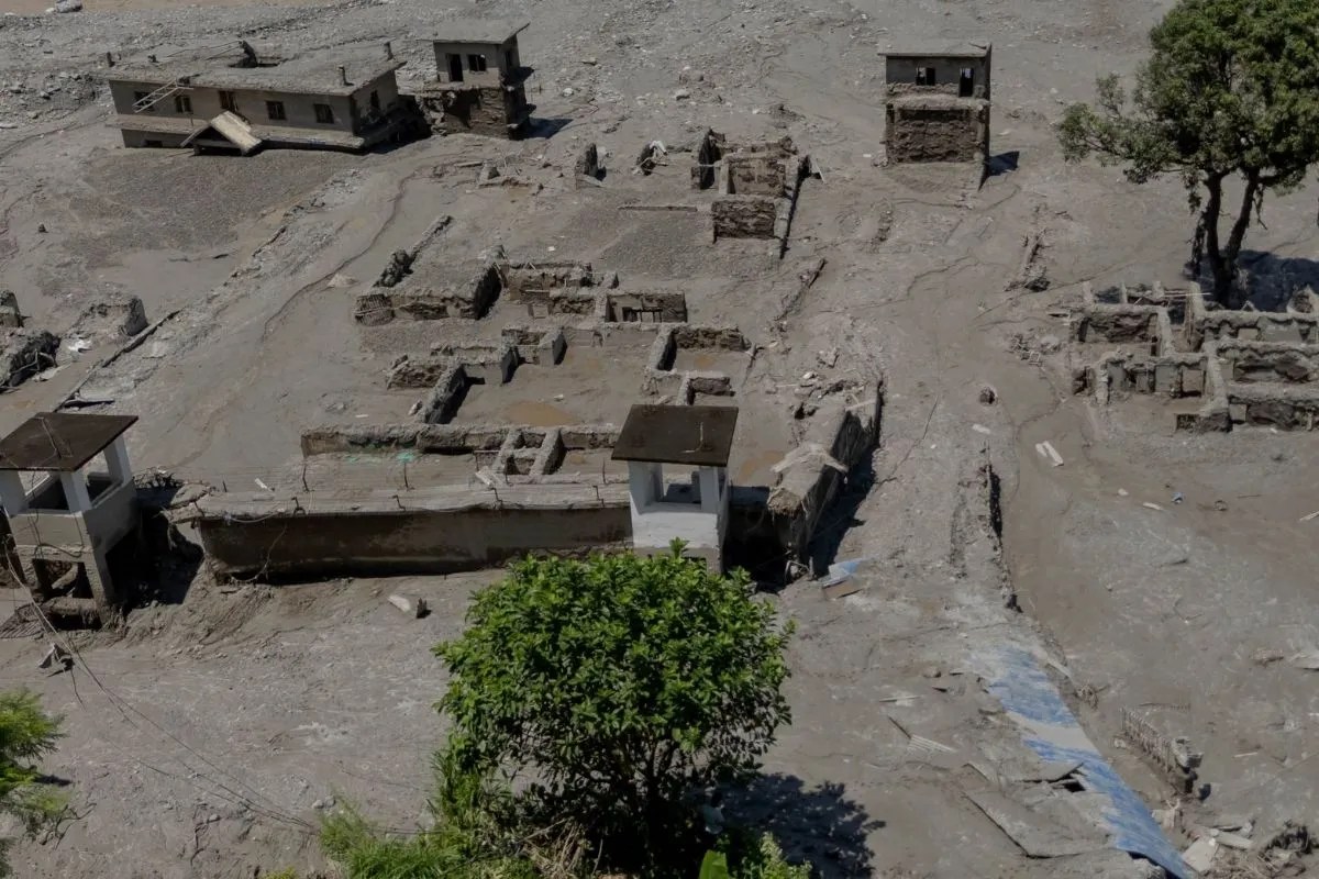
When nature decides to unleash its raw power, borders mean nothing. Right now, a ticking water time bomb sits near the Tibet-Nepal frontier, threatening communities that are already reeling from recent destruction. If you think the danger passed when the heavy rains stopped, you're missing the entire point of how modern flash floods work.
China's Ministry of Water Resources just issued a Level IV emergency alert for the Tibet Autonomous Region. Why? Because a massive barrier lake formed near the confluence of the Chochen Khola and Purepu Tsangpo rivers. Right now, that natural dam holds roughly 2 million cubic meters of water. Worse yet, continuous rainfall is expected to pump another 3 million cubic meters into that basin within days.
Let's look at why this specific situation keeps disaster management experts awake at night.
The Anatomy of a High-Altitude Disaster
Natural barrier lakes form when landslides, debris flows, or glacial moraines block fast-flowing mountain rivers. They act like ticking time bombs. The water pools quickly, building immense hydrostatic pressure against an unstable wall of mud, rock, and loose soil. When that makeshift wall gives way, it doesn't leak. It explodes.
A wall of water mixed with boulders and mud rushes downstream at terrifying speeds. In regions like the Himalayas, valleys are narrow. This channels the destructive energy directly into settlements, roads, and critical infrastructure like the Gyirong Port area.
Organizations like the Kathmandu-based International Centre for Integrated Mountain Development have repeatedly warned that blocked channels along upper stretches of rivers like the Trishuli and Bhote Koshi create secondary and tertiary waves of destruction. The initial flood is horrific, but the aftermath of secondary breaches often catches local populations off guard when they think the worst is over.
What Authorities Are Doing Right Now
You cannot stop millions of cubic meters of water with sandbags. Real crisis management at this altitude requires heavy reliance on technology and rapid intelligence gathering.
Chinese authorities didn't just issue a warning and walk away. The National Space Administration deployed high-resolution satellites and drones to map the disaster zone. Officials report that pre-disaster and post-disaster imagery helps emergency response teams assess structural integrity and map exact flood-risk zones.
On the ground, local administrations are scrambling to identify vulnerable populations living in low-lying valleys. Evacuation is the only real defense when a barrier lake breaches. If you wait until you hear the roar of the water, it's already too late.
The Bigger Picture of Himalayan Vulnerability
We need to talk about why these events are happening with alarming frequency. The Hindu Kush Himalayan region warms at rates significantly higher than the global average. Melting glaciers, erratic monsoon patterns, and unstable terrain combine to create extreme weather anomalies.
When infrastructure projects and remote communities share space with volatile mountain geography, disaster preparedness becomes a matter of daily survival rather than long-term planning. Cross-border coordination between nations like China and Nepal remains vital because water doesn't respect international boundaries. Timely sharing of hydrological data saves lives downstream.
If you live, travel, or work anywhere near these Himalayan river basins, complacency is your worst enemy. Keep emergency packs ready, monitor official hydrological updates closely, and never ignore evacuation orders issued during active flood alerts. The next three days will test the resilience of an already strained region. Stay alert and stay on higher ground.